 Trails in the North Kananaskis Area
 Trails in the North Kananaskis Area

Rock Formations
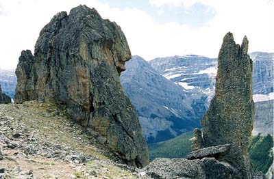
August 2002: The rock outcrop on the right is called "the fork." Memorial Lakes Valley is in the background.
Topo Map: Spray Lakes Reservoir 82 J/14
Trail: Mount Allan/Centennial Ridge
Ref: KCTG p. 116
All Content © David Wasserman. All rights reserved - Commercial use without express written permission of the copyright holder is expressly forbidden.