 Trails in the Peter Lougheed Park Area
 Trails in the Peter Lougheed Park Area

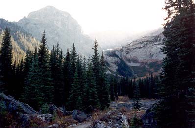
Mount Warspite and Warspite Lakebed
October 2001: The north ridge of Mount Warspite (2850 m) is visible near the end of the interpretive trail. After the dry summer of 2001, Warspite Lake was empty in the fall,
Topo Map: Kananaskis Lakes 82 J/11
Trail: Black Prince Interpretive Trail
Ref: KCTG p. 195
All Content © David Wasserman. All rights reserved - Commercial use without express written permission of the copyright holder is expressly forbidden.