 Trails in North Kootenay National Park

Waterfall
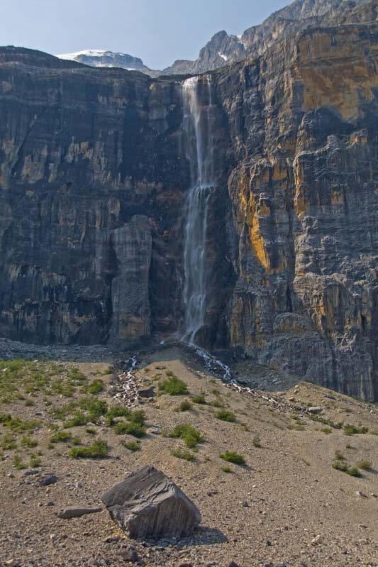
August 2009: A glacier-fed tributary of Stanley Creek plunges over the cliffs of Stanley Peak's north face into the stony moraines below. The large boulder in the foreground may have fallen there, or been left behind after being carried by the glacier.
Topo Map: Mount Goodsir 82 N/1
Trail: Stanley Glacier
Ref: CRTG p. 318


All Content © David Wasserman. All rights reserved - Commercial use without express written permission of the copyright holder is expressly forbidden.
 Trails in North Kootenay National Park
 Trails in North Kootenay National Park