 Trails in the North Kananaskis Area
 Trails in the North Kananaskis Area
Mount Shark
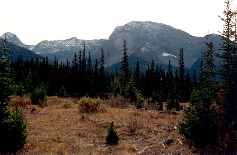
October 2001: Mount Shark (2786 m) is the source of the karst spring, which flows out of its northeast flank, on the right edge of the photo. Mount Smuts, 2938 m, is on the left edge of the photo.
Topo Map: Spray Lakes Reservoir 82 J/14
Trail: Karst Spring Trail
Ref: KCTG p. 166
![]()
![]()
![]()
![]()
![]()
All Content © David Wasserman. All rights reserved - Commercial use without express written permission of the copyright holder is expressly forbidden.